Atlas
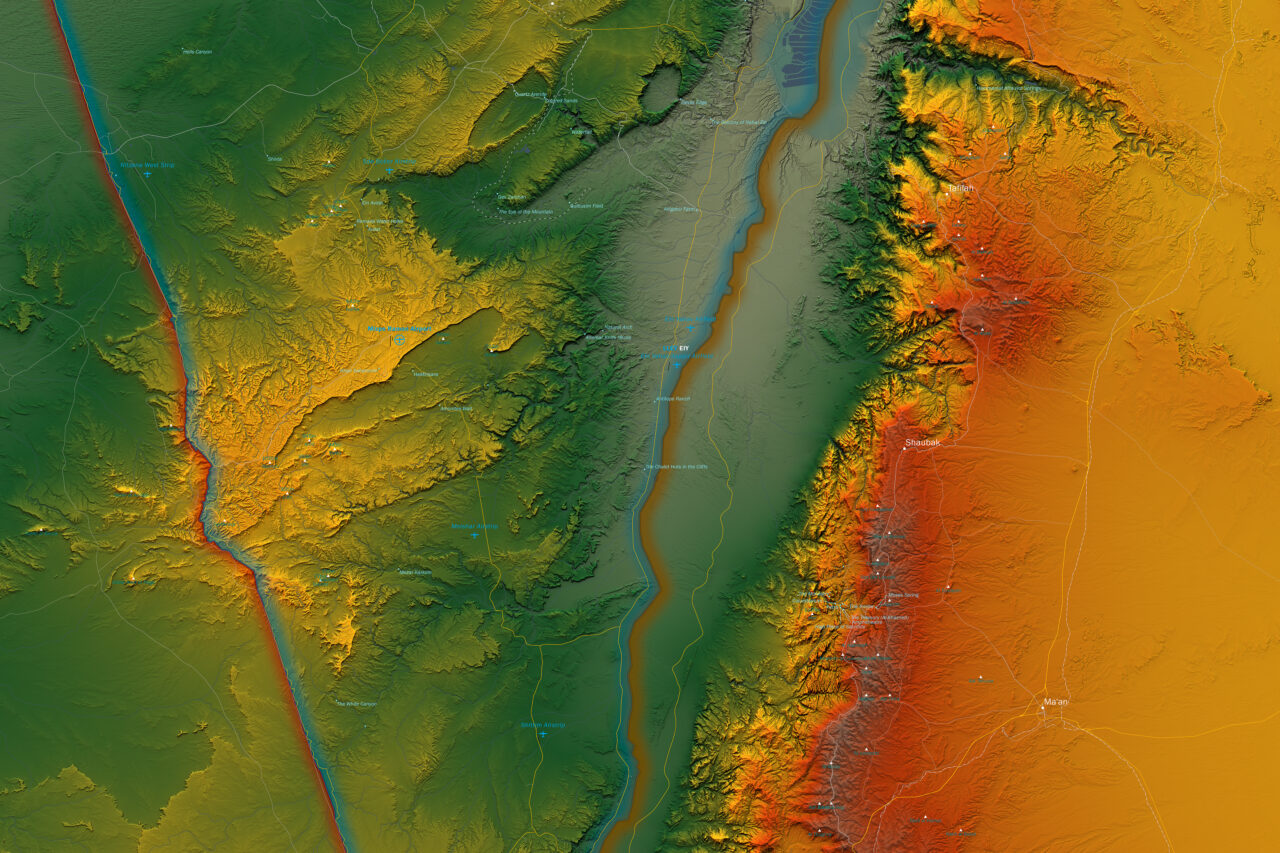
Israel Atlas Map

Israel Atlas Map
Type
Scale, Format
1 : 500.000
60 x 120 cm
Projection
Israeli Transverse Mercator
Style
Atlas
Features
International Boundaries, Capital Cities, Motorways and Major Roads, Primary and Secondary Roads, Airports, Seaports, Sea Routes, Archaeological Excavations, Colour Topographic Rendering, Rivers and Waters
Special Features
Areas A and B according to the Oslo Accords, 1993 and 1995, between the State of Israel and the Palestinian Authority.
Area A is under full civilian and security control by the Palestinian Authority. Area B has extensive delegation of power to the Palestinian Authority with a joint Israeli-Palestinian security coordination. Area C, which is not marked because its outer borders became obsolete by the Oslo Accords has very limited delegations of powers to the Palestinian Authority and is under full Israeli security control.
Published
2018
Copyright
© 2018 Ronen Schmitz
© 2018 OpenStreetMap Contributors
Share


